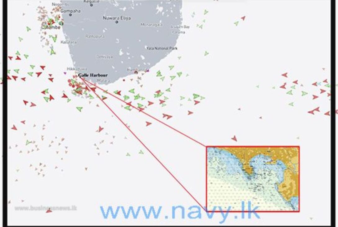
The Sri Lanka National Hydrographic Office (SLNHO) celebrated a significant achievement with the release of its first Electronic Navigation Chart (ENC) for Galle Harbour on October 31, 2024. This publication represents a milestone, marking the first locally produced ENC since the SLNHO’s establishment, in alignment with the National Hydrographic Act No: 7, 2024.
Key Highlights:
- Replaces Outdated Data: This ENC replaces the older version (GB500819) produced by the UK Hydrographic Office in 1907, which held outdated and low-accuracy data. The new chart is expected to restore mariner confidence and improve Galle Harbour’s accessibility, crucial for safety as mandated by the 1979 SOLAS Convention.
- Economic Potential: The Galle ENC is released under the LK ENC series No: LK5G04A1, with each user subscribing at an annual fee of USD 25. This initiative is expected to generate valuable foreign exchange for Sri Lanka.
- Broader ENC Production Plans: With data showing 40,000 ships traversed Sri Lanka’s southern waters in 2023, SLNHO aims to expand its focus to deeper waters, enhancing safety and navigation support across the nation’s strategic maritime zones.
By establishing this critical capability, the SLNHO is advancing both national and international maritime safety standards, positioning Sri Lanka as a significant player in regional hydrographic operations.
Update from: Sri Lanka Navy
Last modified: November 2, 2024


